Yogyakarta, Thursday, 25 September 2025 – The Collaborative Regional Research Programme–Asia-Pacific Network for Global Change Research (CRRP–APN) Team from the Department of Agricultural and Biosystems Engineering (DTPB), Faculty of Agricultural Technology, Universitas Gadjah Mada (FTP UGM), organized the Final Workshop with the theme “Adapting the Impact of Land Use and Climate Change through Smart Irrigation Water Management to Support Food Security (SIWAMA).
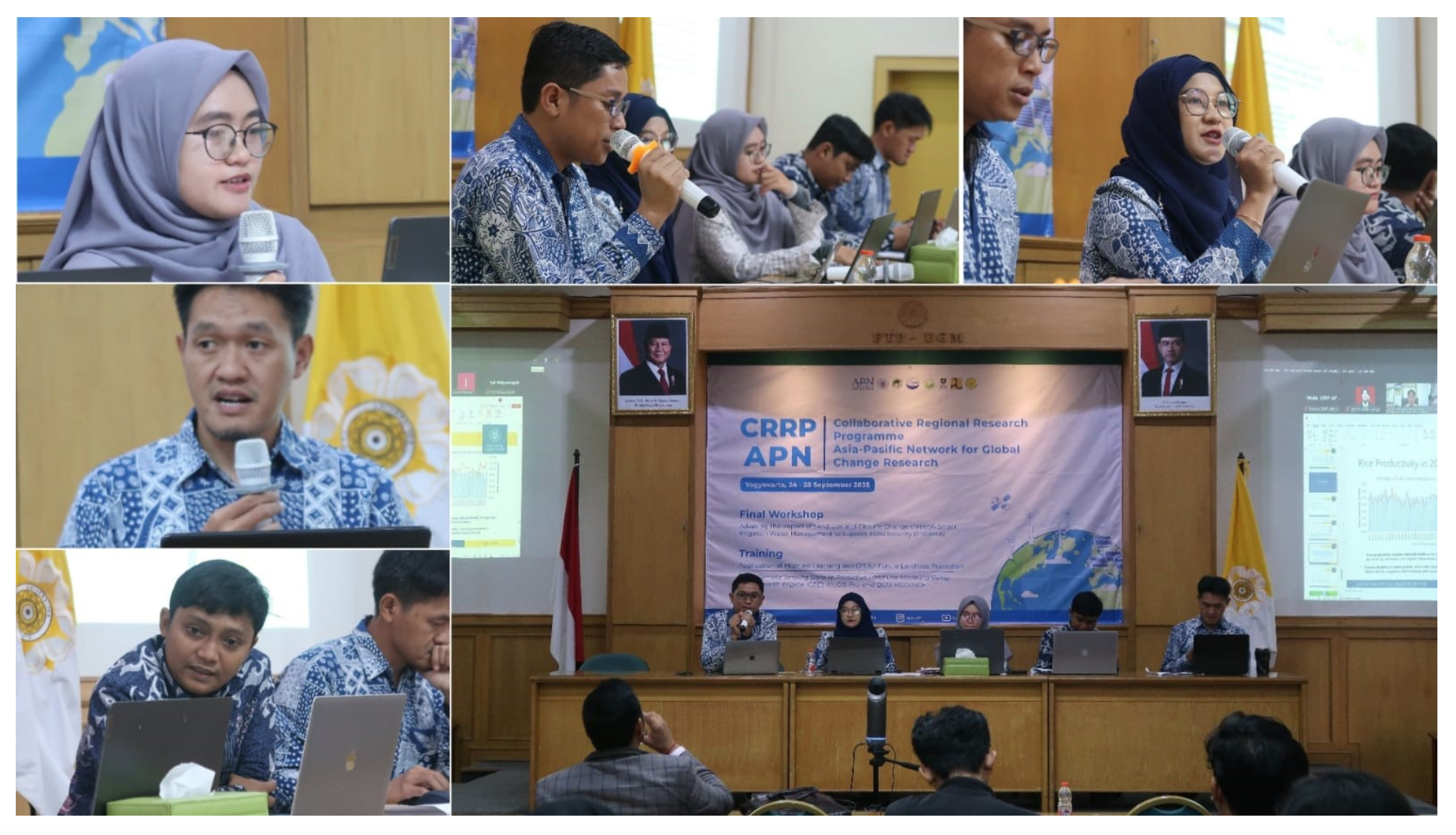
The event was officially opened by the Head of DTPB FTP UGM, Prof. Lilik Sutiarso, who delivered his welcoming address and emphasized the importance of cross-country collaboration in addressing the challenges of climate change and land degradation on food security.
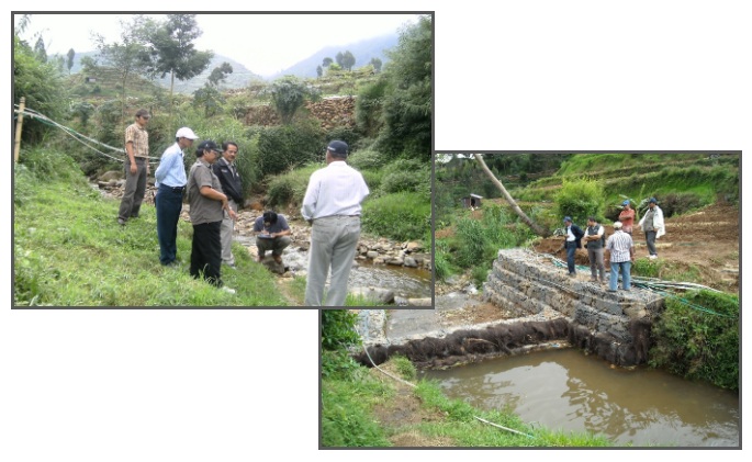
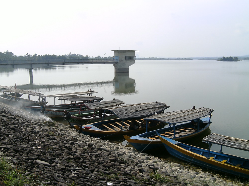
The workshop consisted of two main sessions. The first session was the presentation of collaborative research findings by the CRRP–APN DTPB FTP UGM Team under the leadership of Dr. Chandra Setyawan, S.T.P., M.Sc. The team, consisting of Dr. Chandra Setyawan (team leader), Dr. Ansita Gupitakingkin Pradipta, Dr. Muhamad Khoiru Zaki, Dr. Andri Prima Nugroho, and Isnaini Dairina, M.Sc., presented their research achievements on smart irrigation water management as an adaptation strategy to climate change in support of sustainable food systems.
The second session was a guest lecture moderated by Dr. Ngadisih, featuring four distinguished national and international speakers:
- Dr. Sushil Kumar Himanshu (Asian Institute of Technology, Thailand)
- Dr. Ha Thi Hoa (Thai Nguyen University of Agricultural and Forestry, Vietnam)
- Dr. Dede Sulaeman (Ministry of Agriculture, Republic of Indonesia)
- Propezite Nurhutama M., S.T., M.T. (Ministry of Public Works, Republic of Indonesia)
The speakers shared their perspectives on climate change adaptation strategies, irrigation technology innovations, and sustainable agricultural and infrastructure policies relevant to the Southeast Asian context
This activity aligns with several Sustainable Development Goals (SDGs), particularly:
- SDG 2 (Zero Hunger): strengthening food security through adaptive and efficient irrigation systems,
- SDG 6 (Clean Water and Sanitation): promoting sustainable water resource management,
- SDG 13 (Climate Action): developing research-based adaptation strategies to address the impacts of climate change,
- SDG 17 (Partnerships for the Goals): enhancing academic, research, and policy collaboration across nations.
Through this workshop, DTPB FTP UGM not only expanded its international collaboration networks and strengthened research capacity in the field of smart irrigation but also demonstrated its academic and research competence in making tangible contributions toward building more resilient, adaptive, and sustainable agricultural and food systems at both national and regional levels.